M.J. Van Soest1*, T.D. Price1
1 Utrecht University
*corresponding author:
Introduction
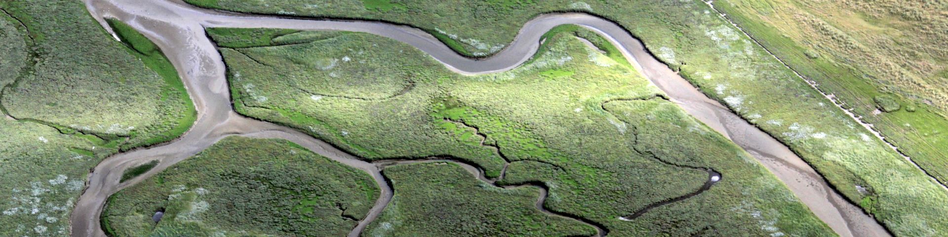
Coastal areas are recreational hotspots where people actively engage with their environment. To occasional visitors, the coast may appear relatively static, but regular beachgoers are often aware of the ever-changing sea, beach and dunes. Monitoring and assessment of coastal dynamics relies on high-frequency observations, which are time-consuming or costly. Engaging the public in the collection of such observations provides a cost-effective method to acquire observational data. At the same time, this 'citizen science' approach provides an opportunity to raise awareness of coastal dynamics and to engage the public in our ongoing coastal research. With this contribution we aim to (1) give an overview of the ongoing coastal citizen science efforts at Utrecht University and (2) outline how we process smartphone-collected photos of the beach to provide instant feedback to users.
Approach
We build upon the methodology used within the international CoastSnap (Harley et al., 2019) network, where users ("citizens") contribute by submitting smartphone photos of shoreline positions through the CoastSnap app, e-mail or social media, at fixed photo points. In our approach, users are directed to a custom-built webpage (www.coastsnap.nl) by scanning a QR-code, where they can directly shoot and submit their uncompressed photo file. After, they are instantly rewarded with the result of their processed image (figure 2). To provide this instant feedback on shoreline positions, we automated the georectification and shoreline detection using machine learning and object detection. The existing MATLAB routines were converted and extended to Python, to make the CoastSnap approach even more accessible and interoperable for other citizen science initiatives. The source code will be made publicly available. We currently run four CoastSnap locations using this approach (at Egmond, Petten, Noordvoort and the Prins Hendrikzanddijk on Texel), and aim to include other sites and coastal features of interest.
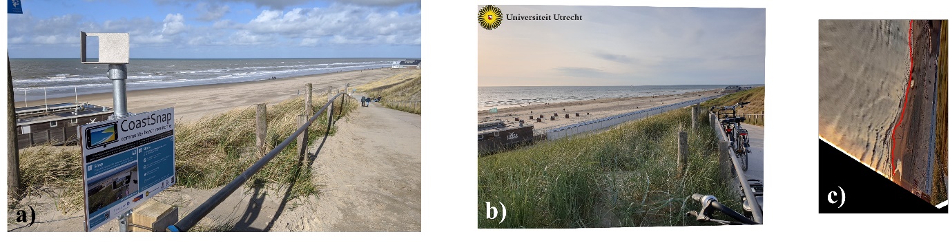
Figure 1: (a) The CoastSnap station at Egmond aan Zee (NL), (b) a received photo file, taken from the mount, and (c) the automatically processed image with the shoreline indicated in red.
References
Harley, M.D., Kinsela, M.A., Sánchez-García, E., Vos, K. (2019). Shoreline change mapping using crowd-sourced smartphone images. Coastal Engineering, 150, 175-189, https://doi.org/10.1016/j.coastaleng.2019.04.003
I. Surname1*, F.N. Another-Surname2 , Y. Next-Surname2
1 University Name, Country; 2 Organization Name, Country
* Corresponding author: mail.name@organization.org
