Dabu, R. E.1*, Ferreira, O.1, Y. Garzon, J1.
1 University of Algarve, Portugal;
* Corresponding author: a81919@ualg.pt
Introduction
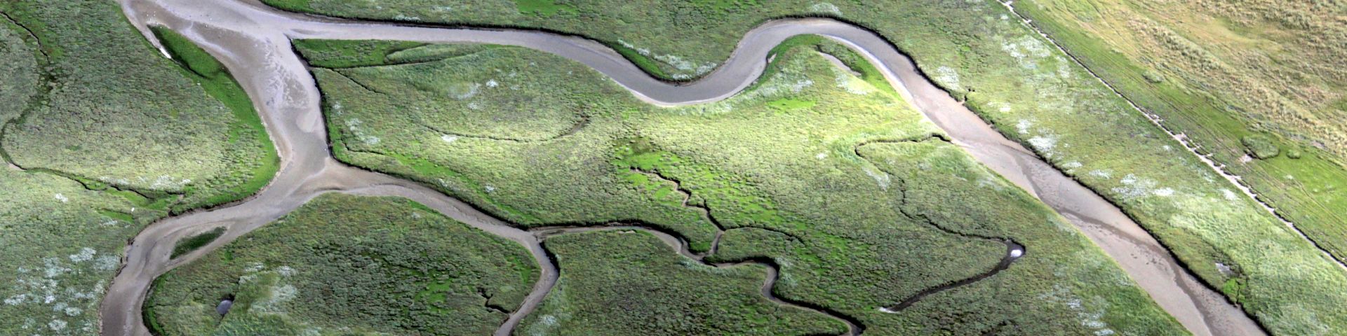
Dunes provide coastal protection against flooding and erosion to the barrier island, mainland, and back-barrier behind it. To maximize this coastal protection, understanding the alongshore variability of dune response to storms is essential. The primary factors affecting this longshore variability, as identified by Garzon et al., 2021, are initial morphology (beach and foreshore), wave energy and incidence angle, dune morphology and hydrodynamics and vegetation. Field data such as (i) Lidar Survey 2009 and (ii) Lidar Survey 2011 are used to quantify the dune retreat and eroded volume due to Storm Xynthia 2010.
Objective and Methods
The objective is to quantify dune retreat and eroded volume from field data. The analysis of Lidar data from 2009 and 2011 encompasses several key components. Firstly, it involves identifying mega cusp and dune distance from the shoreline, a task conducted through QGIS. The start of vegetation was assumed as the marker for the dune's foot, with orthophoto maps providing supplementary insights. Secondly, the quantification of dune retreat and volume change post-storms is undertaken. This process entails generating grids of uniform spacing and subsequently computing vertical differentials to gauge alterations in volume.
Results
The profiles were examined and subsequently, the net eroded volume and elevation changes were calculated.
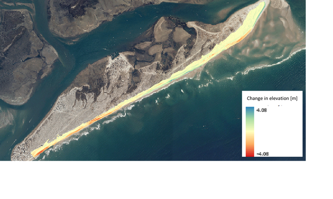
Change in elevation covering dune and beach
