J.C. de Smit1,*, W. van de Lageweg1, T.J. Bouma2,1, JM. Buijs1, T. Gerkema2, A. Herrebout1, C. Nolf3, L. Papenborg1, L. Struckman3, T. Terpstra1
1 HZ University of Applied Sciences; 2 NIOZ Royal Netherlands Institute for Sea Research, 3 Wageningen University & Research
*corresponding author:
Introduction
Sea level rise (SLR) threatens low-lying coastal areas. After 2050 SLR may potentially accelerate, but how strong the acceleration will be is unknown. Extreme scenarios call for extreme measures to ensure water safety, and the uncertainty in SLR rates calls for flexibility in spatial planning. However, today's professionals want to leave room for future generations to make decisions. This leads to a dilemma. Large decisions are postponed, putting their feasibility under pressure when circumstances call for them. Therefore, there is a need for a joint learning process to obtain insight in the feasibility and durability of possible coastal defence strategies, and their societal support.
Approach
With Geen Zee Te Hoog, we aim to develop a participative and iterative process to develop spatial designs of land-water transitions and apply this to the Western Scheldt via living labs. In this context we will also investigate opportunities for nature-based solutions and the physical and ecological boundaries thereof.
Firstly, promising nature-based solutions will be selected based on present and potential future developments for each living lab (of e.g., SLR, sedimentation/erosion patterns, waves, suspended sediment concentrations, etc), which we will determine from existing data and literature. The selected solutions will be assessed on wave attenuation and shear stress reduction using a 1D wave model. Land level growth potential under SLR will be estimated from SSC and inundation duration.
Secondly, results of step 1 will be used to design potential future bathymetries in each living lab. Flow and wave patterns will be modelled in 2D as part of assessing landscape quality. This will serve as input for the development of spatial strategies and design guidelines which will be developed in a co-creative manner with all stakeholders involved.
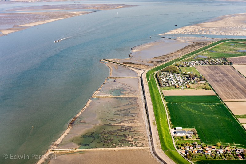
Example of a dyke landscape in the Western Scheldt (Knuitershoek, photo by Edwin Paree).
I. Surname1*, F.N. Another-Surname2 , Y. Next-Surname2
1 University Name, Country; 2 Organization Name, Country
* Corresponding author: mail.name@organization.org
